


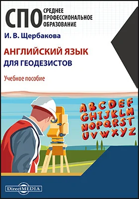
Английский язык для геодезистов
Данное учебное пособие рассчитано на студентов среднего профессионального образования, обучающихся по специальностям «Геодезия и дистанционное зондирование», «Прикладная геодезия», а также может быть использовано для работы со студентами других технических специальностей. В учебное пособие включены упражнения для отработки лексического и грамматического материала.

Содержание
Содержание книги "Английский язык для геодезистов "
Отрывок из книги
17 stretch вытягивание, растягивание, удлинение, напряжение; пространство, участок, отрезок
18 survey землемерная, геодезическая, топографическая съемка местности
Exercise 2. Practice reading the following words. Translate new words. 1 ellipsoid 2 numerical 3 geometric(al) 4 basis 5 coordinate 6 error 7 gravimetric 8 system 9 geocentric
Exercise 3. Read and translate the text. Geodetic systems
A datum is defined as any numerical or geometrical quantity or set of such quantities which serve as a reference or base for other quantities. In geodesy two types of datums must be considered: a horizontal datum which forms the basis for the computations of horizontal control surveys in which the curvature of the earth is considered, and a vertical datum to which elevations are referred. In other words, the coordinates for points in specific geodetic surveys and tri-angulation networks are computed from certain initial quantities (datums). A horizontal geodetic datum may consist of the longitude and latitude of an ini-tial point (origin); an azimuth of a line (direction) to some other triangulation sta-tion; the parameters (radius and flattening) of the ellipsoid selected for the computations; and the geoid separation at the origin. A change in any of these quanti-ties affects every point on the datum. In areas of overlapping geodetic triangulation networks, each computed on a different datum, the coordinates of the points given with respect to one datum will differ from those given with respect to the other. The differences occur because of the different ellipsoids used and the probabil-ity that the centers of each datum’s ellipsoid is oriented differently with respect to the earth’s center. In addition, deflection errors in azimuth cause a relative rotation between the systems. Finally, a difference in the scale of horizontal control may result in a stretch in the corresponding lines of the geodetic nets.
Щербакова И. В. другие книги автора





С книгой "Английский язык для геодезистов" читают





















Внимание!
При обнаружении неточностей или ошибок в описании книги "Английский язык для геодезистов (автор Ирина Щербакова)", просим Вас отправить сообщение на почту help@directmedia.ru. Благодарим!
и мы свяжемся с вами в течение 15 минут

за оставленную заявку